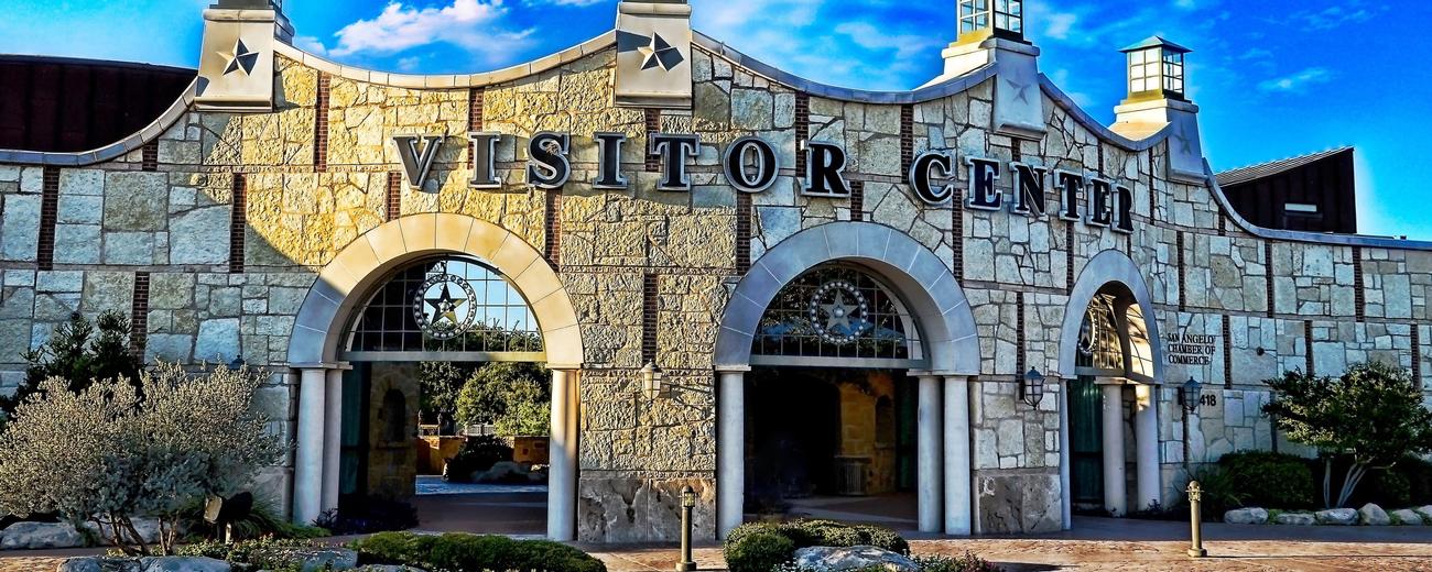
Transportation information for San Angelo is provided below. Travel information includes driving directions, maps, airport information and more.
Airports
San Angelo Regional Airport (Mathis Field) serves the Concho Valley area with daily flights to major Texas destinations, where connections can be made to anywhere in the country. The airport is 8 miles southwest of central San Angelo.
San Angelo Regional/Mathis Field
- 7 miles SW from San Angelo
- SJT
- Public
- 325-659-6409
Map + Directions
Basic Directions
Located on the northern border of the Chihuahuan desert and on the fringes of Hill Country, San Angelo is between Interstates I-10 and I-20. Highways 67, 87 and 277 connect to the city.


